Libya Crisis Map
OCHA, UNOSAT and NetHope have been collaborating with the Volunteer Technical Community (VTC) specifically CrisisMappers, Crisis Commons, Open Street Map, and the Google Crisis Response Team over the past week.
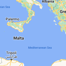
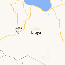
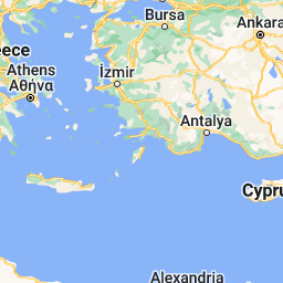
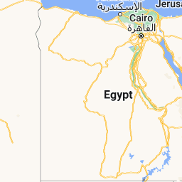


OCHA, UNOSAT and NetHope have been collaborating with the Volunteer Technical Community (VTC) specifically CrisisMappers, Crisis Commons, Open Street Map, and the Google Crisis Response Team over the past week.
The CrisisMappers Standby Task Force has been undertaking a mapping of social media, news reports and official situation reports from within Libya and along the borders at the request of OCHA. The Task Force is also aiding in the collection and mapping of 3W information for the response. UNOSAT is kindly hosting the Common Operational Datasets to be used during the emergency. Interaction with these groups is being coordinated by OCHA’s Information Services Section.
The public version of this map does not include personal identifiers and does not include descriptions for the reports mapped. This restriction is for security reasons. All information included on this map is derived from information that is already publicly available online (see Sources tab).
Focal Points & Media Relations:
- UN/OCHA: Brendan McDonald [mcdonaldb@un.org]
- CrisisMappers/TaskForce: Patrick Meier [patrick@crisismappers.net]


200 km
200 mi

Map data ©2011 Basarsoft, Europa Technologies, Geocentre Consulting, Google, LeadDog Consulting, Mapa GISrael, ORION-ME, PPWK, Tele Atlas, Tracks4Africa, Transnavicom - Terms of Use
Scale = 1 : 14M
8.77696, 23.24234
EPSG:900913

No comments:
Post a Comment